Precision monitoring for biodiversity
Using machine learning and remote sensing data to:
• Map habitat types for biodiversity baselines
• Assess urban green infrastructure for climate adaptation
• Identify buildings offering retrofit possibility for green roofs
• Monitor and report on land use change (BNG, TNFD, CSRD)
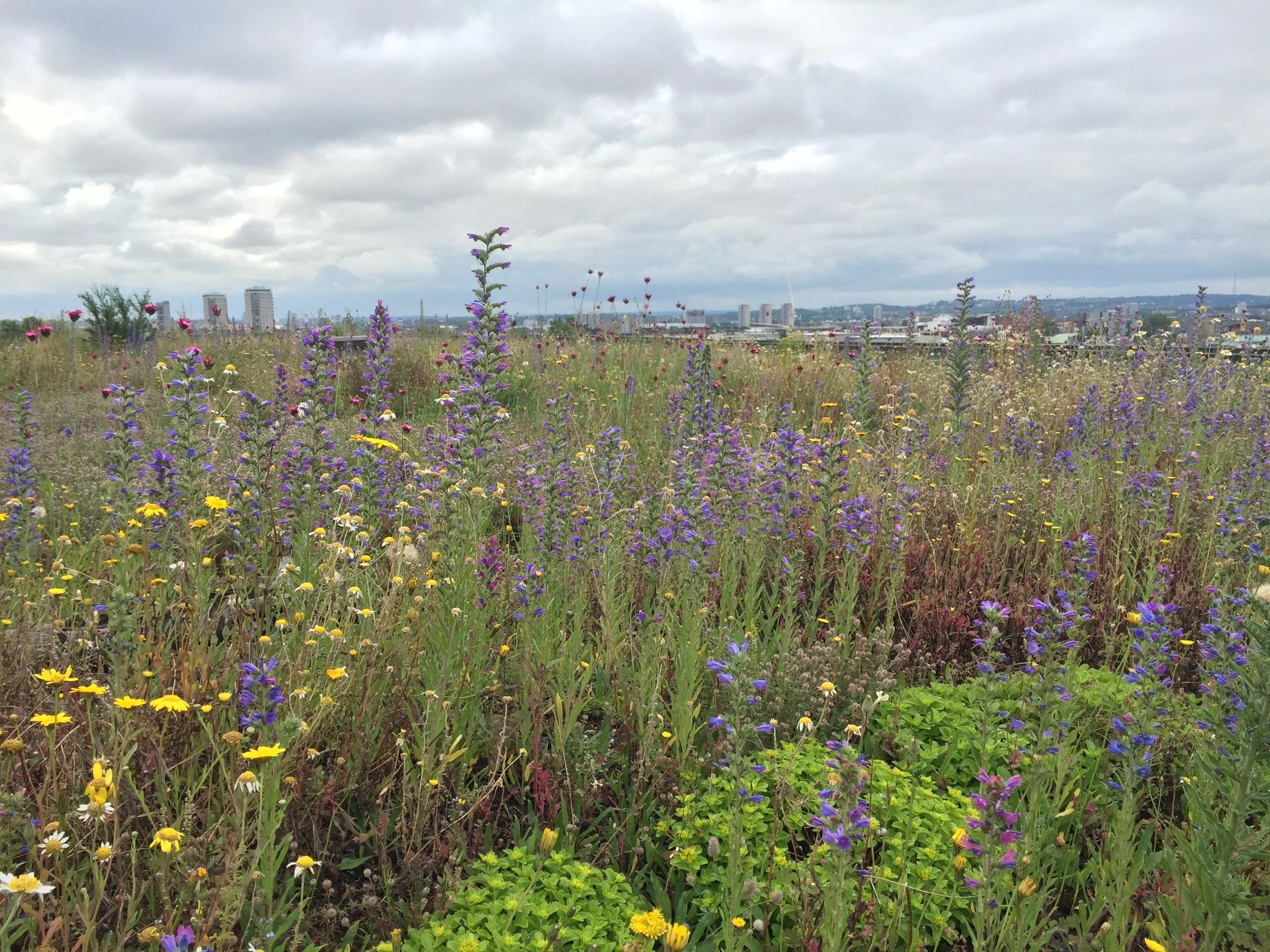
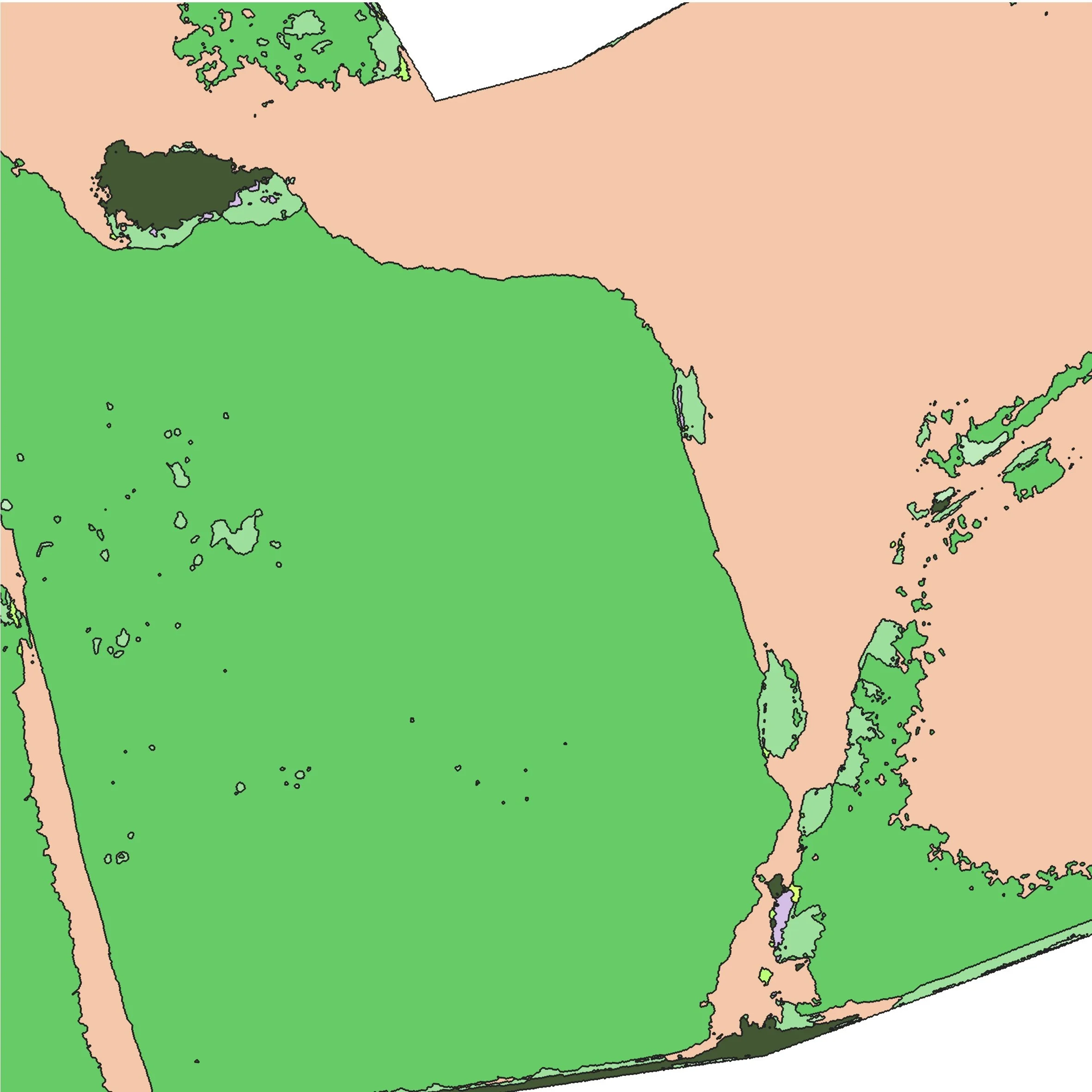
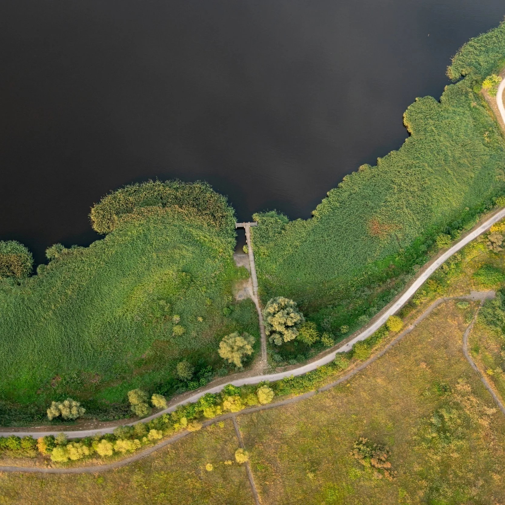
RGB Aerial Photography – © Bluesky International Limited
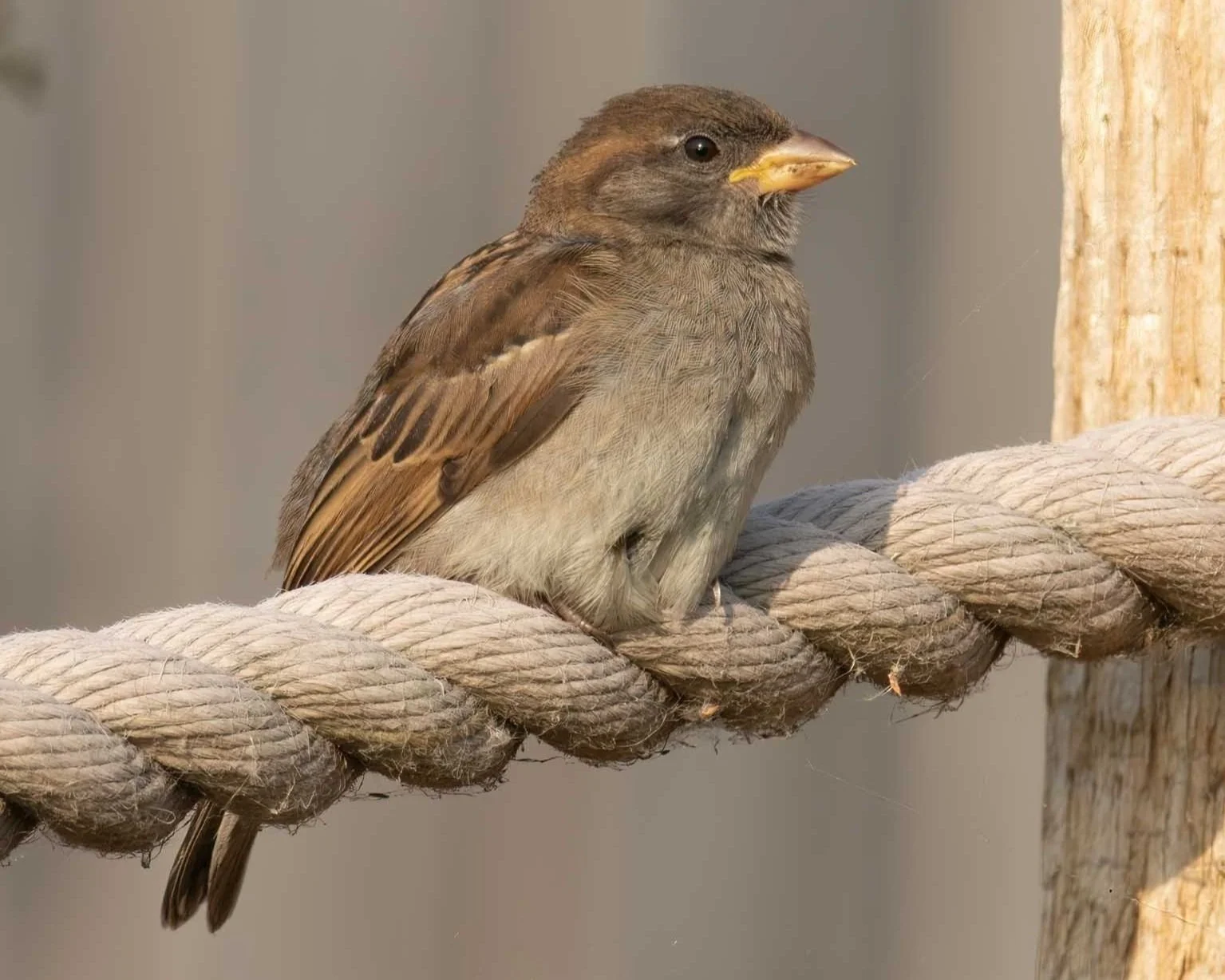
Biodiversity is the variety of living species across the globe, whether plant or animal. Higher levels of biodiversity are better for human health and economic activity. There is currently a major biodiversity crisis, with many species in decline. Worse still, these known populations may represent as little as 20% of life on Earth; in some cases, we may not even know what we’re losing.
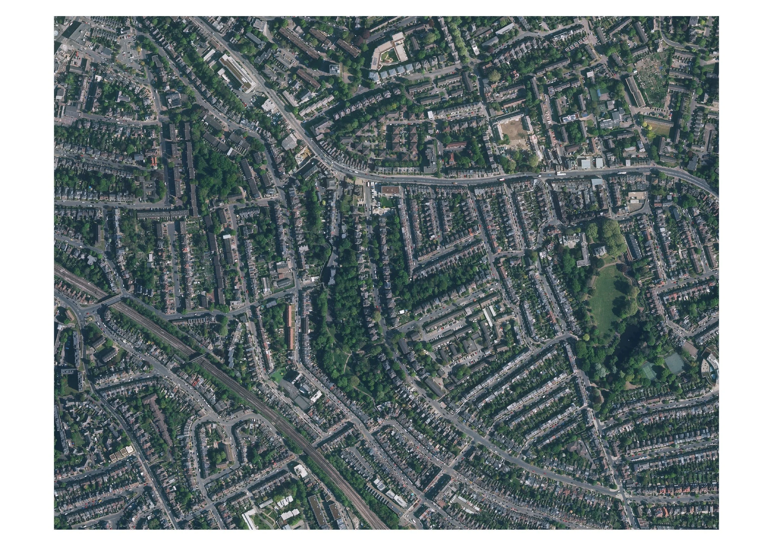
RGB Aerial Photography – © Bluesky International Limited
How can gentian help assess biodiversity?
The primary barrier to protecting biodiversity is understanding it. Traditional assessment measures are labour intensive, costly, hard to scale and lack transparency.
Gentian provides a way to quickly and accurately assess biodiversity over wide areas. Our software as a service uses a proprietary remote sensing system focused on vegetation - the best way to quickly assess the condition of an area - to identify its contribution to biodiversity.
Our work is quick, cost-effective, and conducted entirely remotely without loss of accuracy.
↓70%
Since 1970, populations of mammals, birds, fish, reptiles and amphibians known to science have fallen by almost 70%
* WWF living Planet 2020
↑90%
Gentian leads in mapping, processing and monitoring biodiversity – fully automated and remote, we are quick and highly accurate.
150m sq. m
Gentian has mapped over 150 million sq metres of habitat in the last 12 months.
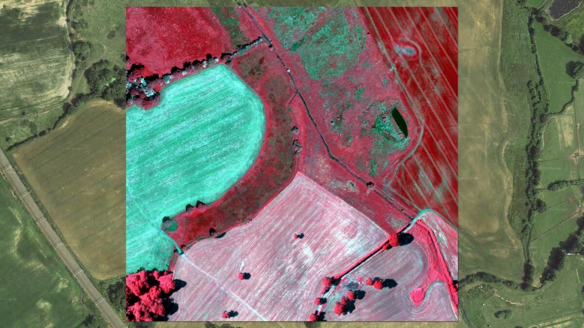
How it works
We combine high resolution satellite images together with fully trained AI algorithms to recognise and separate different habitat types remotely and autonomously. This approach is fast and precise for measuring, monitoring and predicting ecology for new markets where biodiversity carries high value.
Developers & Landowners
“Jaw-dropping what you are doing.”
Technical Director for one of the UK’s Development Corporations
In the UK, Biodiversity Regulations become mandatory from Nov 2023 and require all new developments to demonstrate a biodiversity net gain of 10%
Gentian provides detailed, accurate habitat maps with a biodiversity baseline value, using our innovative new technology, in a fraction of the time and at a fraction of the cost of manual surveys.
In an independent survey, our results were 97% similar to a manual survey.
Preliminary Ecological Assessments, Habitat Mapping, compatible with UK Hab and EUNIS habitat classifications.
Municipalities & Real Estate
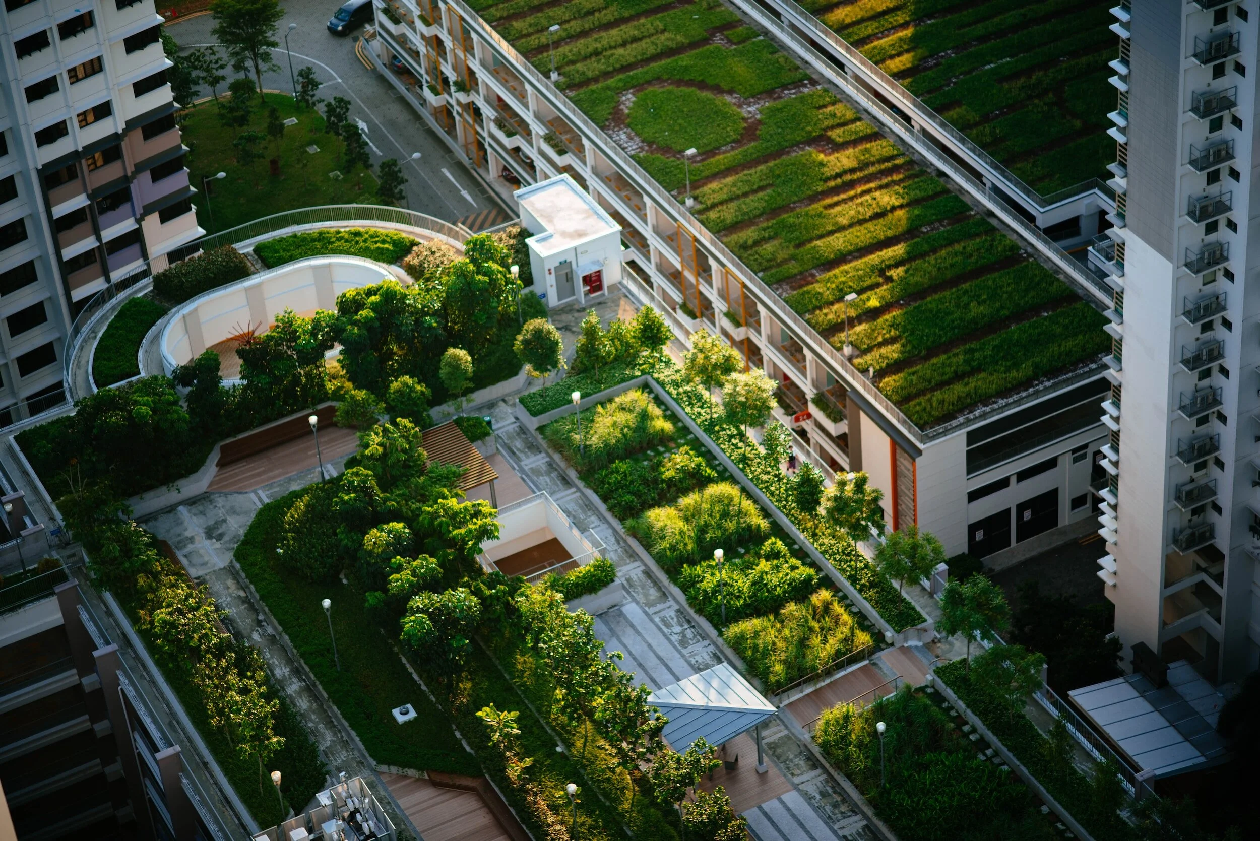
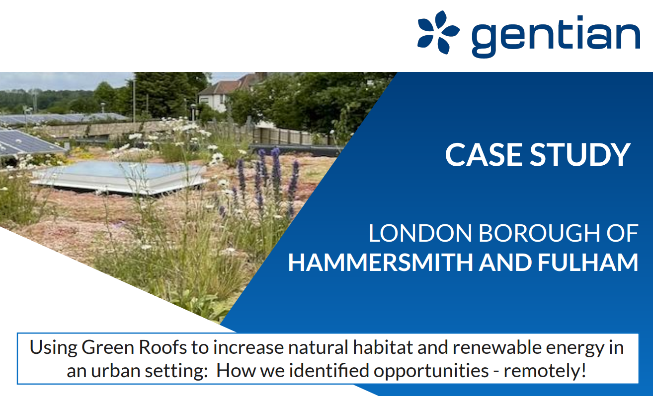
Mapping urban green infrastructure and retrofit potentials. For urban planning or compliance, we can help.
Mapping and monitoring green roofs is expensive in terms of time and money
Gentian provides Green Roof surveys with a detailed map of any borough showing buildings with green roofs by type and condition
Gentian identifies buildings with roofs that are suitable for retrofit with a green roof, with no structural changes, to assist urban planning.
Additional services include the calculation of the potential kWh energy production from the installation of biosolar roofs
We map vegetation at ground level as well as green roofs, providing biodiversity value information for private gardens, and tree count.
Large Corporations
Biodiversity Value Baseline and Monitoring for corporate reporting. Scalable, reliable habitat mapping for impact assessments.
Corporations need to report on natural assets under their responsibility across the world
Transparency in disclosing the biodiversity value of land holdings is increasingly demanded by national and industry reporting frameworks.
Gentian provides habitat maps that give detailed information on habitats across land holdings, to create a biodiversity value baseline, and we monitor this year-on-year to measure % changes, in line with reporting requirements for TNFD and SBTN (amongst others).
Our habitat maps are compatible with EUNIS, Global Biodiversity Framework, UK Habitat classification.
In progress…
Organisations we work with